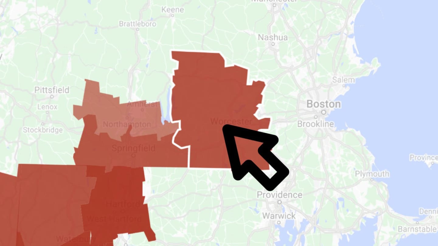
The map, created using Google, features the latest information on total COVID-19 cases, case rates per 10,000 people, and intensive care unit hospital beds currently being used by COVID-19 patients.
The map highlights counties in Daily Voice’s coverage region, which includes Central and Western Massachusetts, Hartford area and Western Connecticut, New York City region, Philadelphia, and much of New Jersey.
The Massachusetts data is drawn from the state’s COVID-19 Response Reporting.
The color of each county on the map is determined by the density of cases, ie. the number of cases per 10,000 population. Click each county on the map for details.
Bookmark this page - a direct link to the map - and check back here for ongoing updates.
Click here to follow Daily Voice Worcester and receive free news updates.